
Jennifer Boggs /
Jennifer Boggs /
Project 1 / eminent design, nyc – The Layout
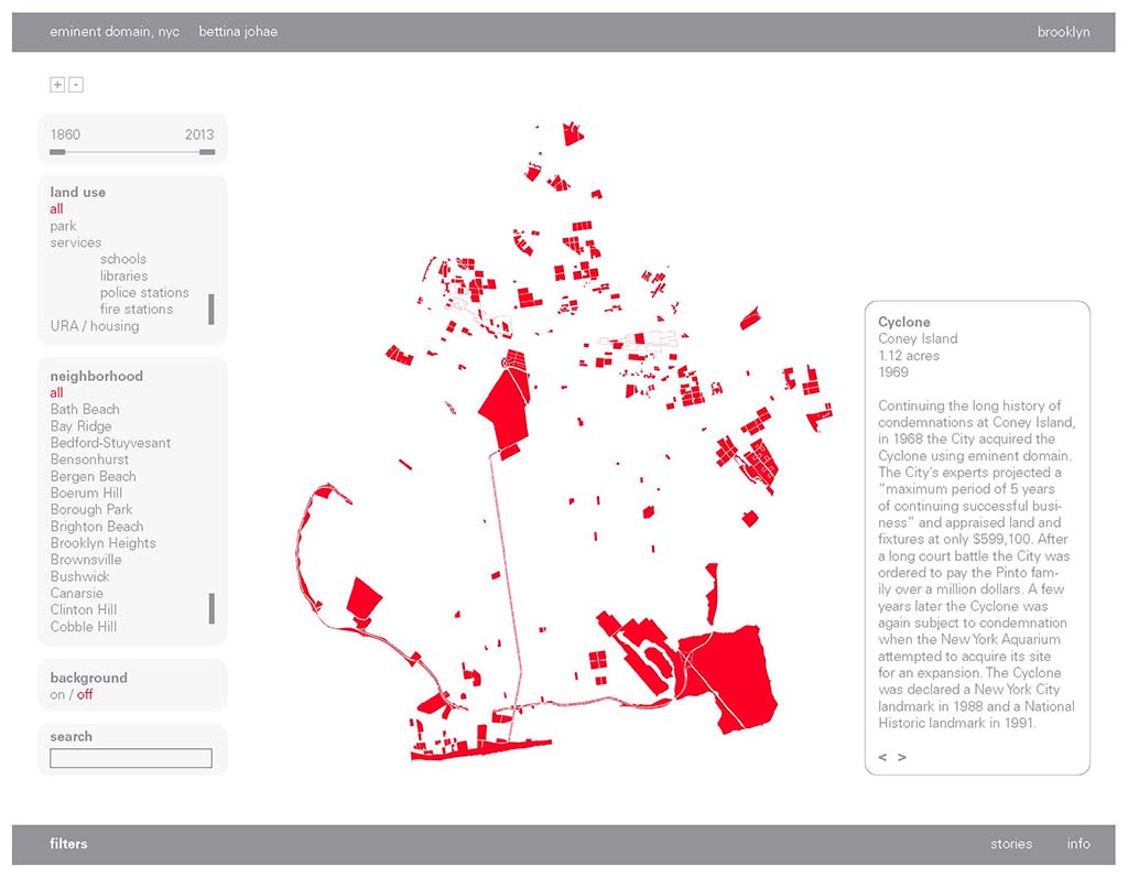
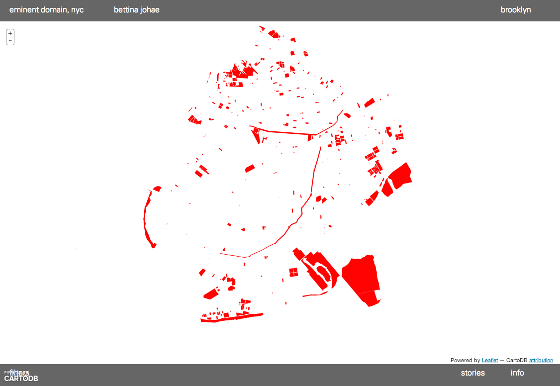
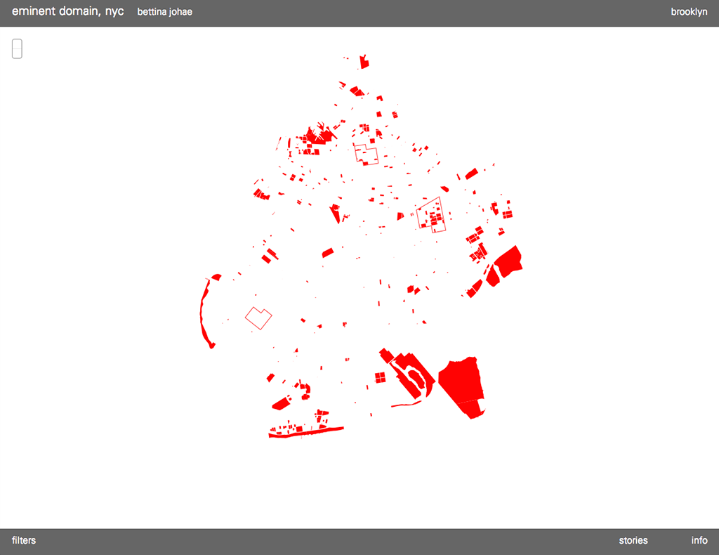
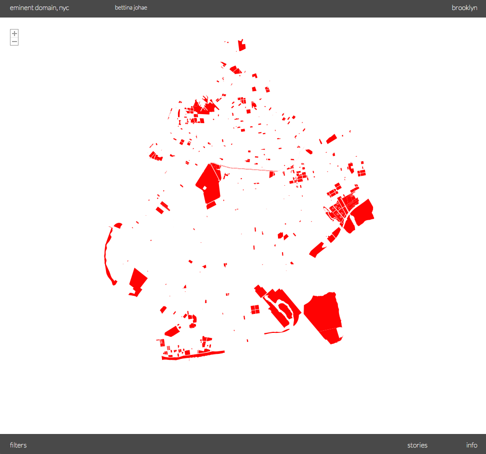
eminent domain, nyc tells a story of the 8th most populated county in the United States (according to the 2010 US Census). It starts in 1836 with the use of eminent domain to create Commodore Barry Park (at that time named City Park) in the current neighborhood of Fort Greene. The acquisition of property is pretty steady until today wit the except of development The Robert Moses. Depending on who you speak to Robert Moses was a genius or a tyrant but there is now doubt through the visualization of that his period of NYC development shaped the cities landscape.
Project 2 / eminent design, nyc – Interactive Map
eminent domain, nyc tells a story of the 8th most populated county in the United States (according to the 2010 US Census). It starts in 1836 with the use of eminent domain to create Commodore Barry Park (at that time named City Park) in the current neighborhood of Fort Greene. The acquisition of property is pretty steady until today wit the except of development The Robert Moses. Depending on who you speak to Robert Moses was a genius or a tyrant but there is now doubt through the visualization of that his period of NYC development shaped the cities landscape.
Project 3 / eminent design, nyc – Manipulating the data
eminent domain, nyc is a place to promote the generation of new thoughts and analysis. A comprehensive visual display of eminent domain acquisitions in NYC has never been done. In this format people will have the opportunity to see how it has played out in their neighborhood or assess the types of use these parcels of land go to. It also allows us to see how entire neighborhoods have historical roots to a specific eminent domain period.
Final Project / eminant domain, nyc – Refinement